
MAPS & ORIENTATION
Read the coast
north to south.
Compare three dune regions, staging areas, campgrounds, and service towns. This is a planning overview. Carry current official maps in the field.
Planning map: shaded riding areas show general regions, not legal route or closure boundaries. Use the linked current Forest Service map and posted signs before riding.
TAKE THE RIGHT MAP
Overview here.
Official map in hand.
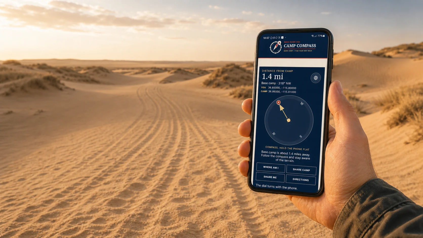

Free safety tool Works beyond the bars
Mark camp.
Find your way back.
Save camp before you ride. Camp Compass uses GPS satellites to show the distance and direction back, even where cell service disappears. Your marked camp stays on this phone unless you choose to share it.
- Works offlineGPS does not need a cell tower
- One compassUse it at every Dune Guide destination
- Share your locationSend coordinates when help can reach you
Set it up before the trip. Installation needs a signal.